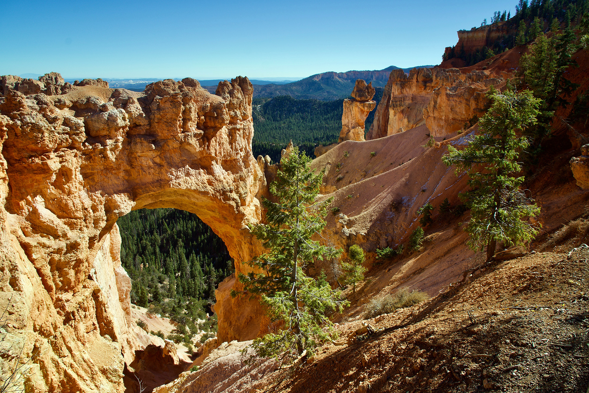
How was Zion National Park Formed?
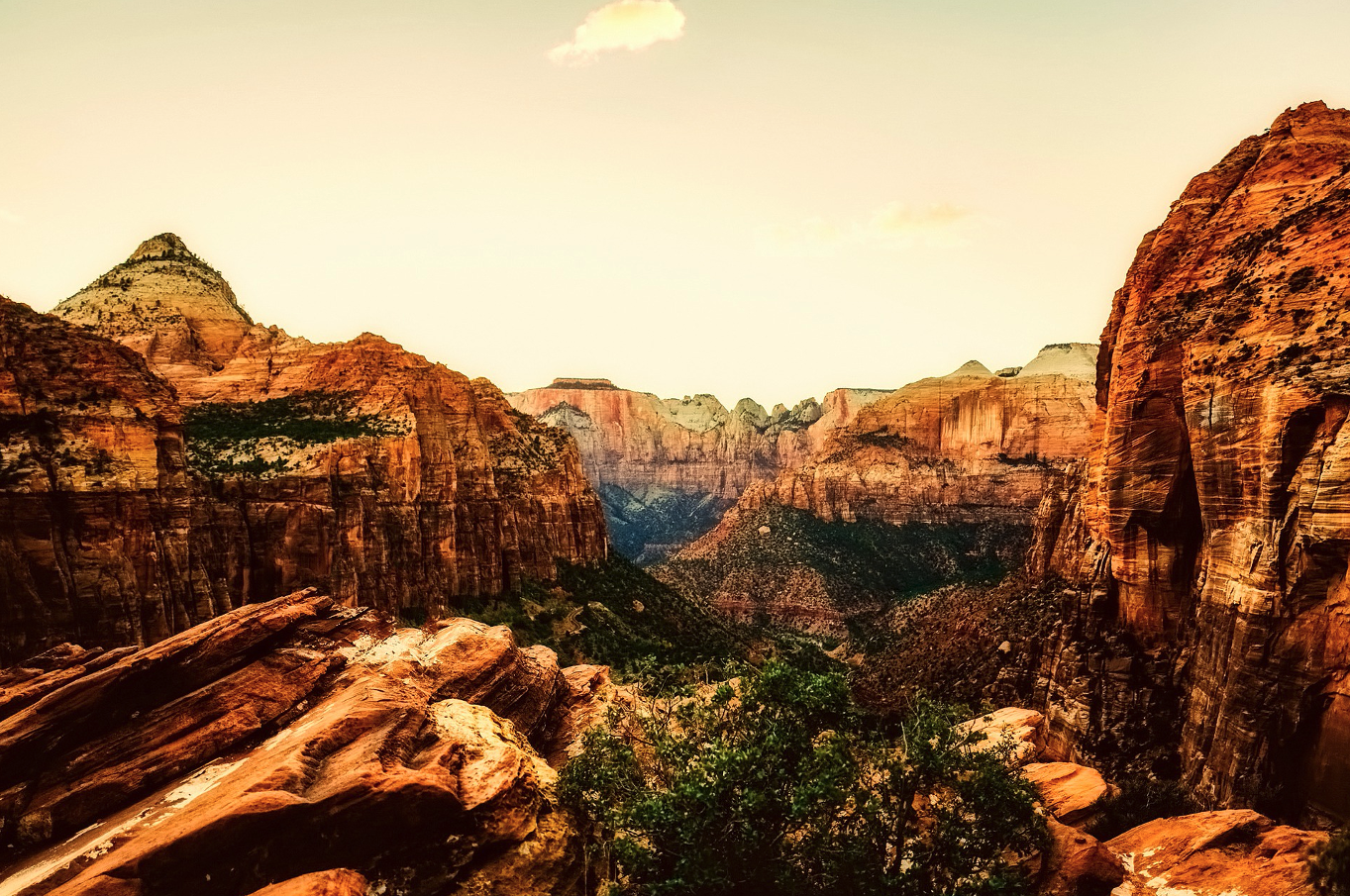
Millions of years ago, the landscape of the Zion National Park came into formation when the low water body allowed huge rivers to flow. What was once the sand dunes are now the breathtaking 2,000 feet cliffs in the Zion National Park.
The 229 mile-radius geographical scenery of the Zion National Park (ZNP) leaves tourists and hikers amazed. Here’s more on the formation of the ZNP.
What Was Sedimentation In ZNP?
Reaching sea level, Zion was once a flat basin covering a vast area of what is now the scenic land in Southern Utah. Mud, gravel, and sand came down from the nearby mountains and deposited in the flat basin through the powerful river streams.
This sedimentation process continued until the deposited minerals in the Zion area accumulated over 10, 000 feet of material. In fact, climate change held a significant role in the looping fall and rise of the basin land throughout the sedimentation process.
What Role Did Lithification Play In ZNP’s Formation?
Lithification refers to a complex process where fresh minerals through sedimentation enter a rock-forming process. This process may occur right after sedimentation on a plain or at a later stage. The same was the case with ZNP as the mineral-rich waters entered the sediment layers.
The cementing effect of the minerals turned these layers into rocks over a long span of time, which are now the main attraction of ZNP. During formation, every sediment layer had a different composition of the various minerals. Hence, after the lithification process, every layer is noticeable due to distinct color and content appearance, which add to their beauty.
How Did The Uplifting Occur In ZNP?
Uplift is a natural process of the earth that leads to the rise and elevation of the land surface above sea level. Earth forces push the surface above, and hence that is how ZNP is currently at 10,000 feet above sea level. Previously, it was nearly at sea level.
Uplifting led to the rise of the huge vertical crusts in the Zion landscape after the lithification process. Moreover, the uplift keeps occurring as it is natural. Recently, an earthquake (of 5.8 magnitude) caused a noticeable landslide right near the southern entrance of Springdale Park.
How Did Erosion Contribute to the Formation of ZNP?
The uplift to the Zion surface helped the river streams cut through the landscape into the sea. The large streams carrying boulders and heavy sediment cut through the landscape after the uplifts to create great, narrow, and deep canyons.
Since then, the large streams in the canyons and other parts of the Zion National Park have contributed to the deepening and narrowing of the canyons. Furthermore, the landslides are proof of the shifting of the landscape of Zion and the uplift of the surface.
Conclusion
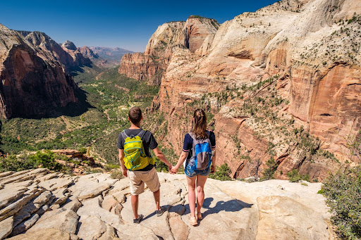
Do you want to enjoy the mesmerizing views of Zion National Park? Well, in that case, Ferber Resorts has you covered. We offer camping, planning, hiking, and all other services to tourists and visitors to Southern Utah.
We know everything about Zion National Park. So, give us a call at 435-772-3237 or contact us through our website for more information.
Reference Links:
https://www.nps.gov/zion/learn/nature/upload/Geology07.pdf
https://www.zionponderosa.com/blog/2018/01/how-was-zion-formed/
https://en.wikipedia.org/wiki/Zion_National_Park
https://en.wikipedia.org/wiki/Geology_of_the_Zion_and_Kolob_canyons_area