Zion National Park Trip Planner
Backpacking / Hiking
Bicycling
Birding
Canyoneering
Horseback Riding
The Narrows
River Trips
Sunset / Stargazing
Full Zion Trail Map
Alternate Trails – No Pass Required
Parking Information
Restaurant Information

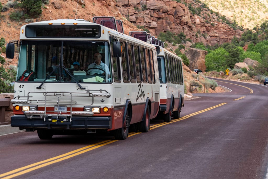
Shuttle Information
Zion National Park shuttle ticket system is discontinued. In response to updated guidance on transit systems in National Parks and Covid-19, Zion National Park is discontinuing the temporary shuttle ticket system for Zion Canyon. Tickets for the shuttle will no longer be needed starting Friday, May 28, 2021. Previously purchased tickets will be given priority in shuttle line.
Hiking Guide for Trails
Swipe to see trail details
| Shuttle Stop | Hike/Trailhead | Round Trip | Elevation Change | Description |
|---|---|---|---|---|
| 1 | Pa’rus Trail
Zion Canyon Visitor Center |
2 Hours – 3.5 mi/5.6km | 50ft/15m | The paved trail follows the Virgin River from the South Campground to Canyon Junction. A wheelchair may need assistance. |
| 1 | Archaeology Trail
Zion Canyon Visitor Center |
0.5 Hour – 0.4mi/0.6km | 80ft/24m | Short but steep. It starts across from the entrance to the visitor center parking lot. Climbs to the outlines of several prehistoric buildings. Trailside exhibits. |
| 6 | Lower Emerald Pool Trail
Zion Lodge |
1 Hour – 1.2mi/1.9km | 69ft/21m | Due to trail construction, lower Emerald Pool is closed until late spring. Check at the Visitor Center for more information. |
| 6 | The Grotto Trail
Zion Lodge The Grotto |
0.5 Hour – 1mi/1.6km | 35ft/11m | The trail connects the Zion Lodge to The Grotto. The trail is a great place to view wildlife. |
| Weeping Rock Trail
Weeping Rock |
TRAIL CLOSED UNTIL FURTHER NOTICE | |||
| 9 | Riverside Walk
Temple of Sinawava |
1.5 Hours – 2.2mi/3.5km | 57ft/17m | Minor drop-offs, paved trail follows the Virgin River along the bottom of a narrow canyon. Trailside exhibits. A wheelchair may need assistance. |
| Shuttle Stop | Hike/Trailhead | Round Trip | Elevation Change | Description |
|---|---|---|---|---|
| 1 | Watchman Trail
Zion Canyon Visitor Center |
2 Hours – 3.3mi/5.km | 368ft/112m | Moderate drop-offs ends with the viewpoint of the Towers of the Virgin, lower Zion Canyon, and the town of Springdale. |
| 4 | Sand Bench Trail
Zion Lodge |
3-4 Hours – 5.5mi/8.85km | 466ft/142m | Commercial horse trail from March to October. Hike atop a massive landslide under The Sentinel. Deep sand and little shade. |
| 6 | Upper Emerald Pool Trail
Zion Lodge |
1 Hour – 1mi/1.6km | 200ft/61m | Minor drop-offs, A sandy and rocky trail that climbs to the Upper Emerald Pool at the base of the cliff. No swimming is allowed. |
| 6 | Kayenta Trail
The Grotto |
1.5 Hours – 2mi/3.2km | 150ft/46m | Moderate drop-offs, an unpaved climb to the Emerald Pools. Connects The Grotto to the Emerald Pools Trail. |
| East Side Tunnel | Canyon Overlook Trail
Zion-Mt. Carmel Hwy |
1 Hour – 1mi/1.6km | 163ft/50m | Long drop-offs, mostly fenced. The rocky and uneven trail ends at the viewpoint of Pine Creek Canyon and the lower Zion Canyon. The parking lot is right-turn only. Be aware of steep drop-offs. |
| Kolob Canyons | Taylor Creek Trail
Kolob Canyons Road |
3.5 Hours – 5.0mi/8.0km | 450ft/137m | Limited to 12 people per group. Follows the Middle Fork of Taylor Creek past two homestead cabins to Double Arch Alcove |
| Kolob Canyons | Timber Creek Overlook Trail
Kolob Canyons Road |
0.5 Hours – 1mi/1.6km | 100ft/30m | Follows a ridge to views of Timber Creek, Kolob Terrace, and Pine Valley Mountains |
| Shuttle Stop | Hike/Trailhead | Round Trip | Elevation Change | Description |
|---|---|---|---|---|
| 6 | Angels Landing via West Rim Trail
The Grotto |
4 Hours – 5.4mi/8.7km | 1488ft/453km | Long drop-offs, Not for young children or anyone fearful of heights. First 2.2 miles are paved surface. Last section is a route along a steep, narrow ridge to the summit. |
| Hidden Canyon Trail
Weeping Rock |
TRAIL CLOSED UNTIL FURTHER NOTICE | |||
| Observation Point via East Rim Trail
Weeping Rock |
TRAIL CLOSED UNTIL FURTHER NOTICE | |||
| 9 | The Narrows via East Rim Trail
Temple of Sinawava |
8 Hours – 9.4mi/15.1km | 334ft/102m | Read information on the reverse side an check conditions at the visitor center before attempting. High water levels can prevent access to the Narrows. |
| Kolob Canyons | Kolob Arch via La Verkin Creek Trail
Zion-Mt. Carmel Hwy |
8 Hours – 9.4mi/22.5km | 334ft/102m | Limited to 12 people per group. Follows Timber and La Verkin Creeks. A side trail leads to Kolob Arch, a large natural arch. |
